This is an illustrative case study demonstrating GEOINTEL LAND methodology. It does not describe a specific client engagement.
Overview
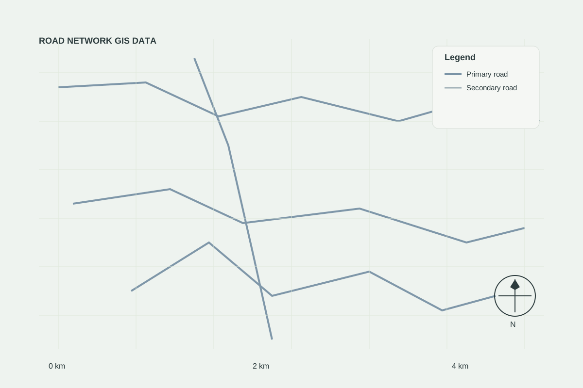
This demonstration links a road network dataset with candidate site points to illustrate accessibility analysis.
- Road network layer (SHP)
- Candidate site points
- Distance-to-road buffers