Projects & case studies
How spatial intelligence shapes better projects.
Sample workflows and illustrative case studies. Items marked “Illustrative” demonstrate our methodology and are not client engagements.
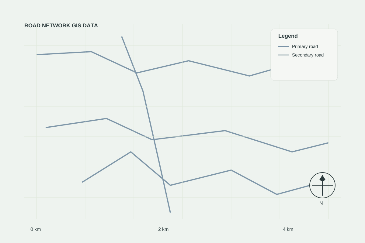
GIS dataIllustrative
Roads & sites data linkage
Demonstration showing how road network data and candidate sites are combined in one analysis.
Read case study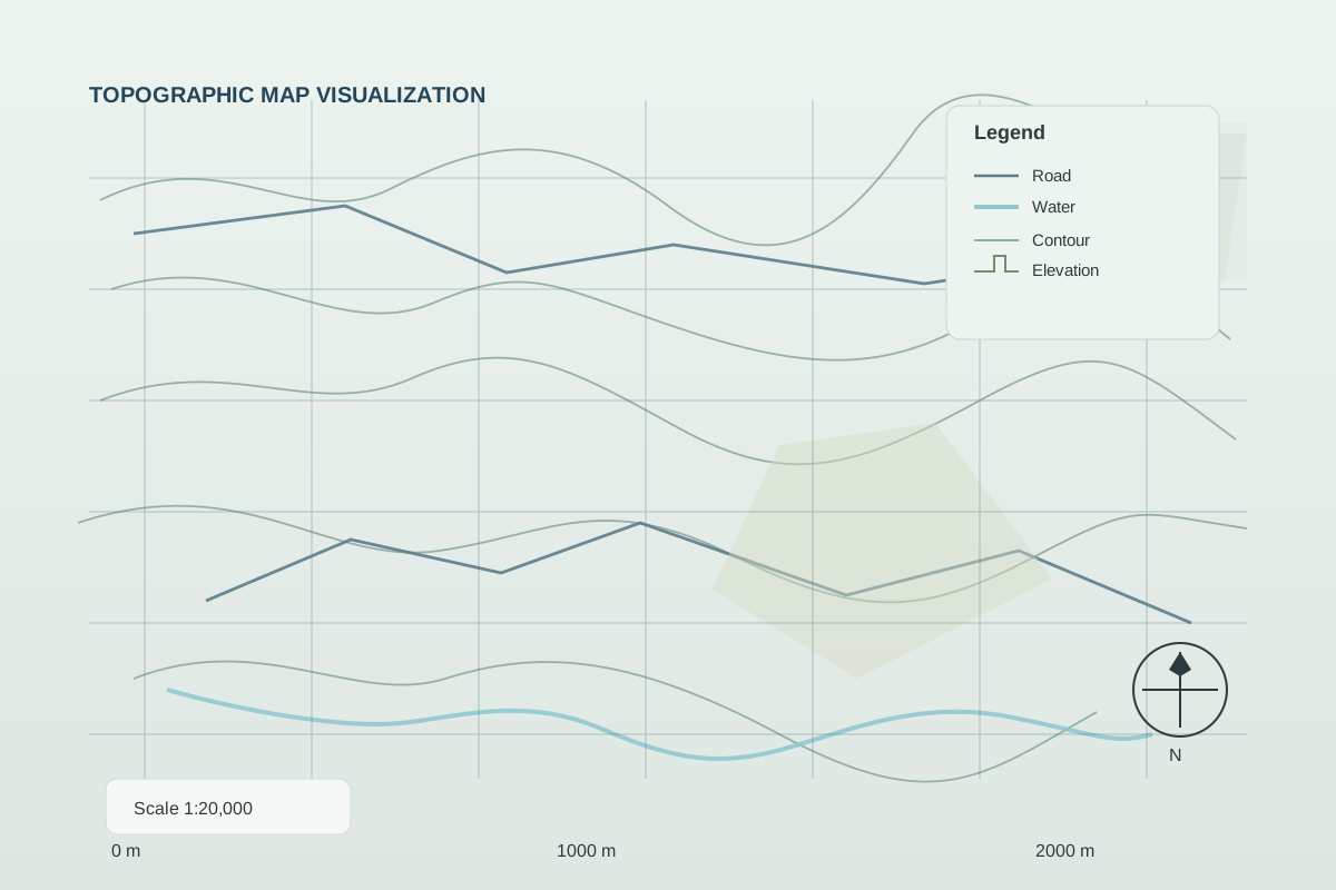
ConstructionIllustrative
Construction site monitoring
Periodic monitoring of construction progress using satellite snapshots and GIS reporting.
Read case study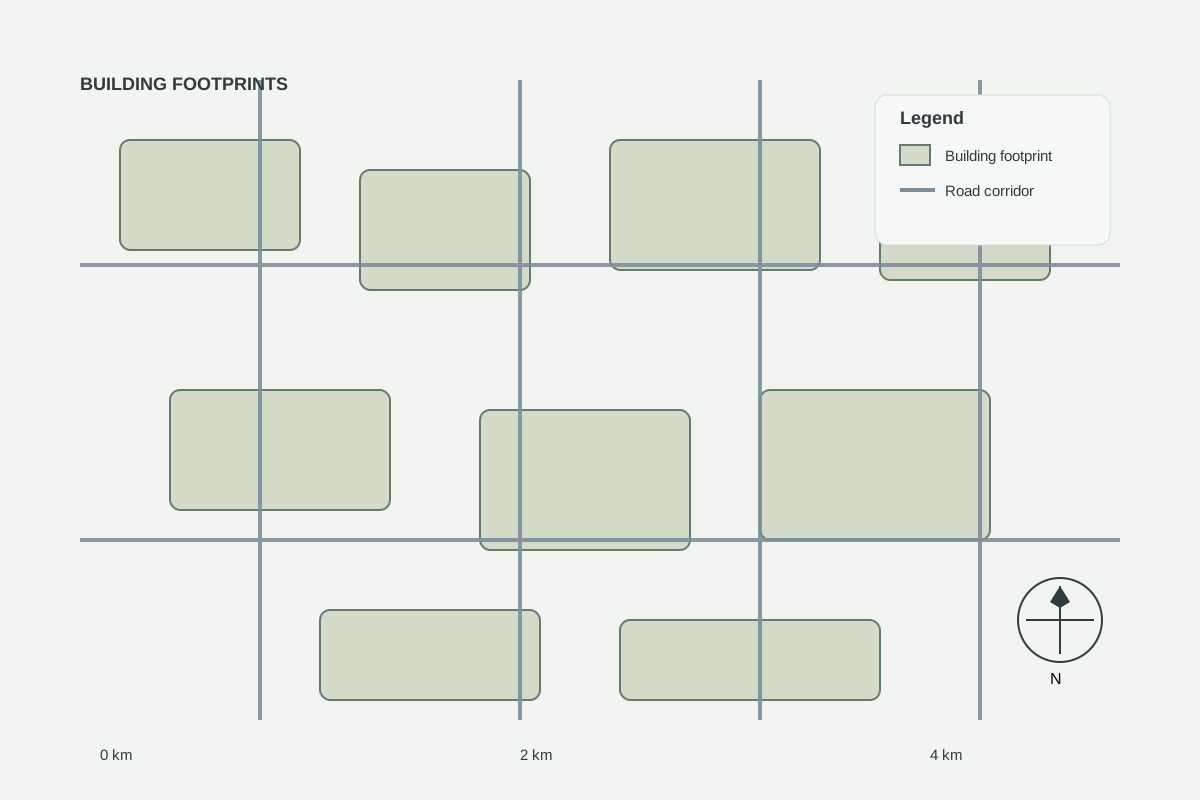
Satellite intelligenceIllustrative
Urban expansion analysis
Illustrative urban growth analysis using multi-year satellite imagery.
Read case study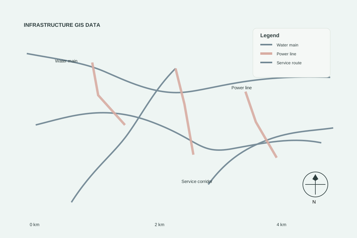
IndustrialIllustrative
Industrial site intelligence
Site assessment, infrastructure analysis and planning inputs for a light-industrial development.
Read case study
Real estateIllustrative
Residential development site selection
Illustrative workflow comparing potential residential locations using accessibility, terrain and infrastructure criteria.
Read case studyHave a site you are considering?
Send us the location and project details. We will assess the appropriate geospatial analysis and services for your project.