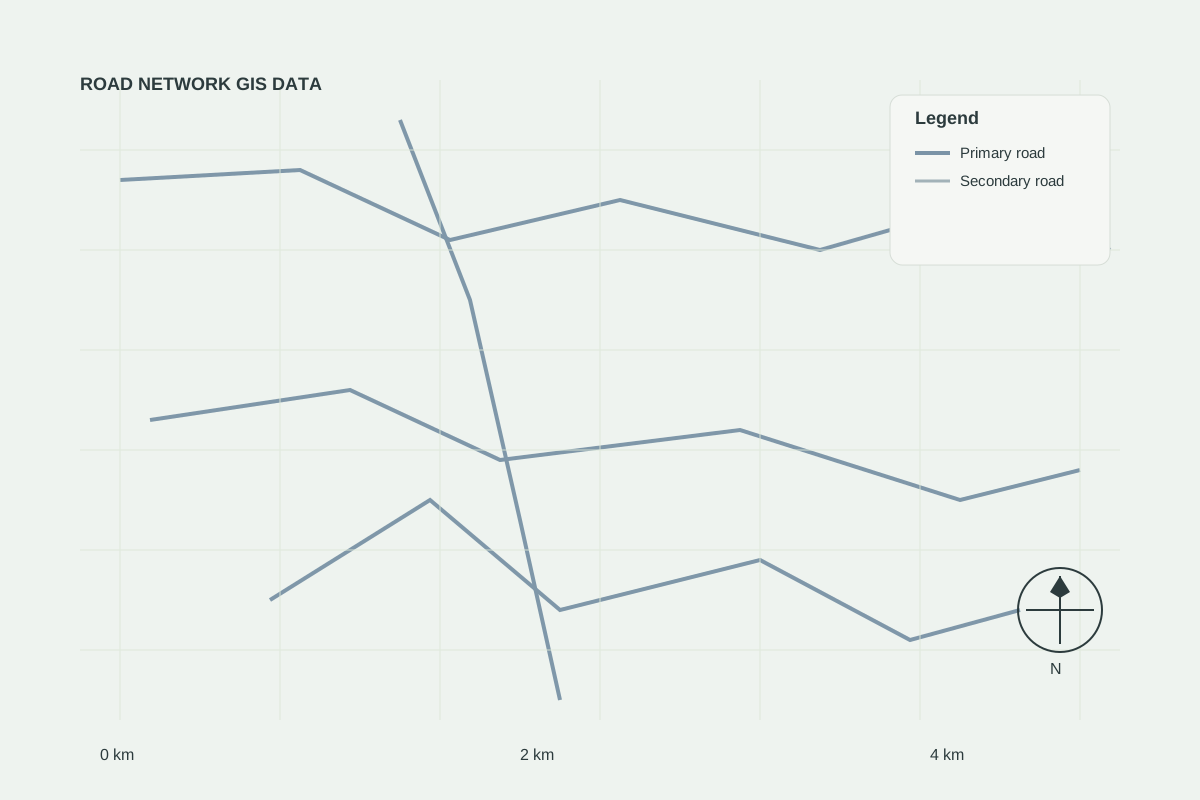
Road Networks
AVAILABLERoad Network GIS Data
Ready-to-use road network datasets for mapping, transportation analysis and infrastructure planning.
Infrastructure layers for utilities, service access, planning and corridor studies across development areas.
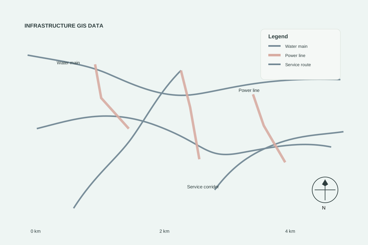
Sample GIS visualisation — illustrative example of the data type.
Road Networks
AVAILABLEReady-to-use road network datasets for mapping, transportation analysis and infrastructure planning.
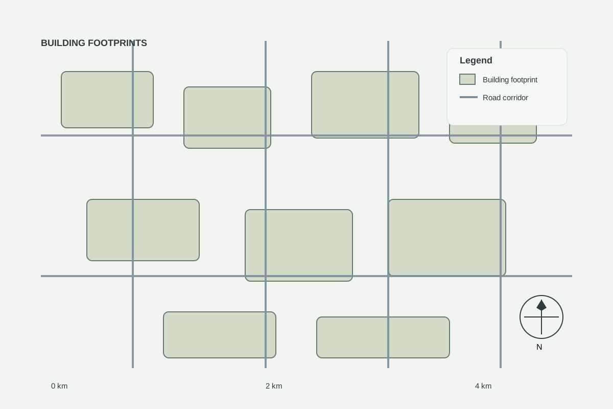
Building Data
REQUEST DATABuilding footprint layers for urban analysis, site design and infrastructure assessment.
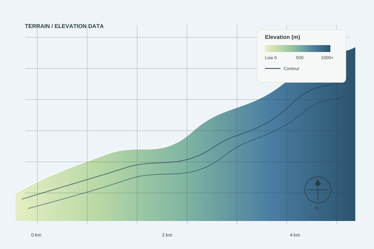
Elevation / Terrain
COMING SOONElevation and terrain intelligence for drainage, slopes and engineering planning.
Tell us your area of interest and preferred format — we will confirm availability, licensing and price.